Chapter Overview
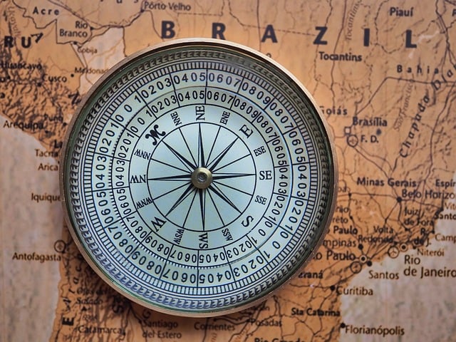
The chapter ‘Latitudes and Longitudes’ introduces students to the imaginary lines drawn on the globe to help in navigation and location identification. It explains how these lines divide the Earth and how they are used to determine time zones and climatic zones.
Important Keywords
- Latitude: Imaginary horizontal lines running east to west.
- Longitude: Imaginary vertical lines running from the North Pole to the South Pole.
- Equator: The 0° latitude that divides the Earth into the Northern and Southern Hemispheres.
- Prime Meridian: The 0° longitude that divides the Earth into the Eastern and Western Hemispheres.
- Tropic of Cancer: 23.5°N latitude, marking the northern boundary of the tropics.
- Tropic of Capricorn: 23.5°S latitude, marking the southern boundary of the tropics.
- Time Zones: The Earth is divided into 24 time zones based on longitudes.
Detailed Notes
Sign In to view full chapter (Latitudes and Longitudes - Detailed Notes) resources.
Want to unlock the full learning experience?
Log In to continue
To access this learning resource, save your progress and get personalized recommendations — please log in to your account or register for free.
It only takes a minute and gives you complete access to lesson history, resource bookmarks, and tailored study suggestions.
Log In to continue